


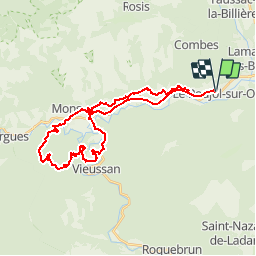

11.3 km | 20 km-effort

User


FREE GPS app for hiking
 SityTrail
IGN / Geographical institutes
SityTrail World
The world is yours!
Trail Mountain bike of 36 km to be discovered at Occitania, Hérault, Le Poujol-sur-Orb. This trail is proposed by tracegps.
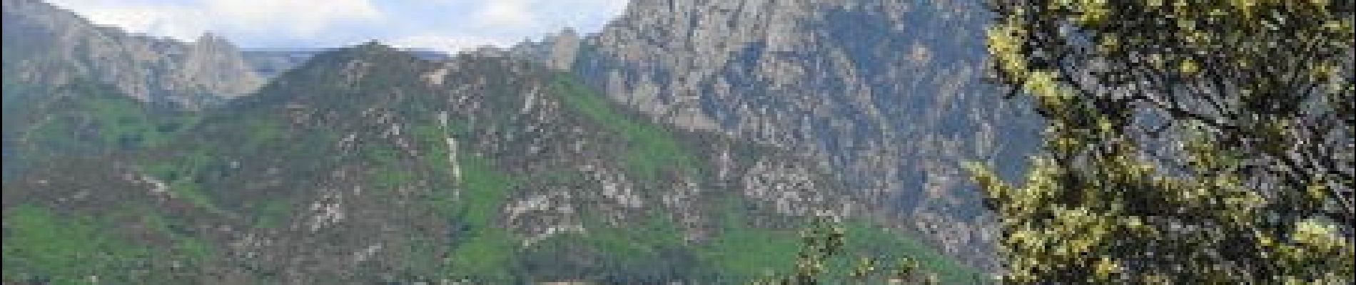
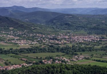
Au départ de La Maison d'Hôtes au Poujol sur Orb, jolie randonnée sportive offrant des vues superbes sur le Caroux et la vallée de l'Orb...


Walking

Walking

Walking

Walking

Walking

Walking

On foot

On foot